RÚIAN data with complete history 2015–2026
Complete RÚIAN data: Czech parcels, buildings, addresses, streets and territorial units for the whole country. The current state and every version since August 2015, month by month.
One-time payment, final price for a personal licence, switch to business at checkout · data as of September 2026
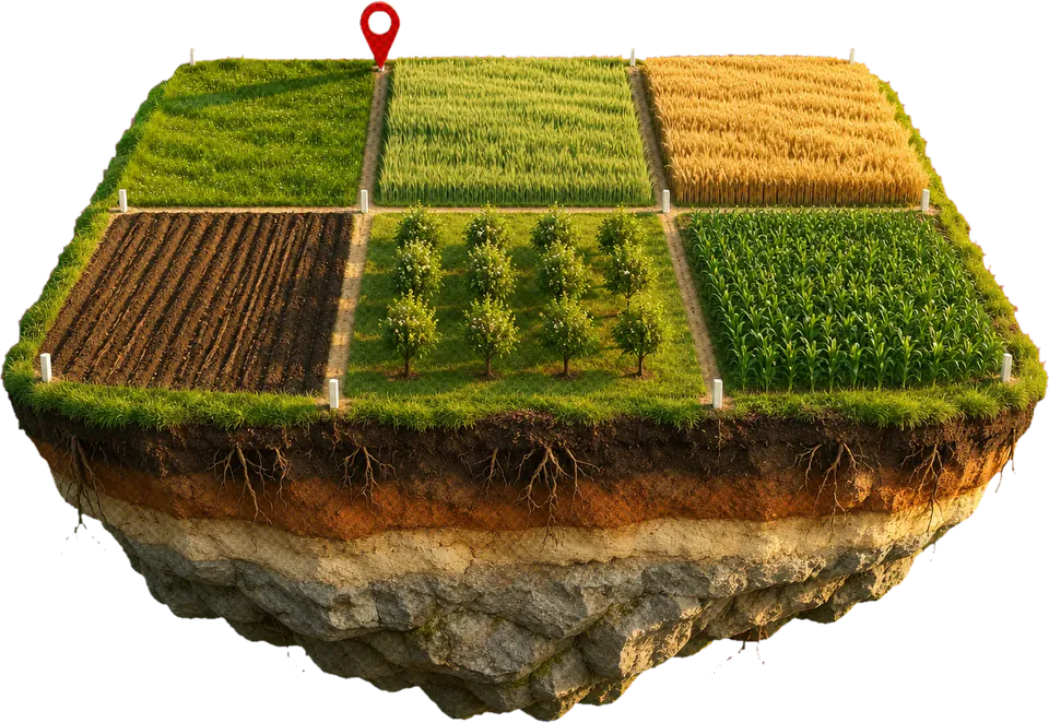
How much work it saves
Reading 134 monthly archives of RÚIAN, the Czech register of addresses, buildings, parcels and territorial units, in its exchange format VFR (about 650 GB of XML, over 6,000 files every month) and assembling them into an interval history of all 20 layers. Then handling over 20 kinds of defects in the archive itself, which is published by ČÚZK, the Czech cadastre and mapping office: truncated and empty files, invalid geometries or decimal commas in coordinates.
- Free sample: all tables cut down to the Kutná Hora area, in CSV and Parquet. Download the sample
- Free: code lists and boundaries from this dataset. Download
- Data as of
- September 2026
- Rows
- 265m
- Layers
- 20
- Bundle contents
- 20 layers, each as current state and history (41 tables); plus addresses with GPS, code lists
- Formats
- PostgreSQL, Parquet, CSV, GeoPackage, GeoJSONSeq, GeoJSON
- Source licence
- CC BY 4.0 (ČÚZK)
What’s inside
The complete RÚIAN from August 2015 to September 2026: current state and history of all 20 layers (parcels, buildings, addresses, streets, territorial units) as a PostgreSQL/PostGIS dump, GeoParquet, CSV, GeoPackage and GeoJSON, plus addresses with GPS and code lists.
| Layer | Current | Versions in history |
|---|---|---|
parcelyParcels with boundaries, area and land type | 22,016,307 | 34,385,640 |
katastralni_uzemiCadastral areas | 13,074 | 36,755 |
stavebni_objektyBuildings with boundaries and technical data | 4,237,807 | 10,875,508 |
uzemni_jednotkyRegions, districts, ORP (municipalities with extended powers), POU (authorised municipal offices), municipalities and city districts | 7,130 | 43,975 |
parcely_ochranaLand protection types | 21,252,045 | 27,473,369 |
parcely_bpejParcel parts by soil quality unit (BPEJ) | 15,176,369 | 24,659,698 |
Show all 20 layers
| Layer | Current | Versions in history |
|---|---|---|
stavebni_objekty_ochranaBuilding protection types | 214,320 | 744,856 |
stavebni_objekty_teaTechnical and economic attributes of buildings | 79,057 | 142,779 |
nespravne_udajeFlags of incorrect data | 2,519 | 15,053 |
uliceStreets and public spaces | 85,997 | 268,722 |
casti_obciMunicipality parts | 15,106 | 17,855 |
zsjBasic settlement units | 23,604 | 74,143 |
adresni_mista_vfrAddress points linked to their building and polling district | 3,022,397 | 3,721,600 |
volebni_okrskyPolling districts | 14,556 | 111,951 |
ciselnikyRÚIAN code lists | 6,077 | 11,751 |
adresy_uadsAddresses from ST_UADS (since November 2023) | 3,022,502 | 4,342,866 |
hranice_generalizovaneGeneralised boundaries for fast maps | 20,030 | 66,436 |
ucelove_prvkySpecial-purpose territorial elements | 689,767 | 1,025,664 |
ucelove_prvky_vazbyLinks from special-purpose elements to parcels and buildings | 40,649,048 | 45,834,376 |
symbolyFlags and coats of arms of municipalities and city districts | 11,368 | 23,186 |
Each layer comes as two tables: <layer> with the current state and <layer>_historie with all versions.
134 months of RÚIAN history
Every parcel, building and address as of any month since August 2015. Drag the slider to see how a real parcel has changed.
3 record versions in the RÚIAN history
Show table and SQL
| plati_od | plati_do | druh_pozemku | vymera |
|---|---|---|---|
| 2015-08-01 | 2017-10-01 | 13 zastavěná plocha a nádvoří | 558 m² |
| 2017-10-01 | 2019-10-01 | 14 ostatní plocha | 218 m² |
| 2019-10-01 | – | 13 zastavěná plocha a nádvoří | 218 m² |
SELECT plati_od, plati_do, druh_pozemku, vymera
FROM   ruian.parcely_historie
WHERE  ku_kod = 727181 AND kmenove_cislo = 838 AND poddeleni = 2
  AND plati_od <= DATE '2019-06-01'
AND (plati_do IS NULL OR plati_do > DATE '2019-06-01');Downloads
Every format contains the same data. Download only the one you need; verify its integrity with the SHA256SUMS file.
| Format | Files | Size |
|---|---|---|
| PostgreSQLDump of the ruian schema for pg_restore (PostgreSQL 17+, PostGIS 3.4+) and schema.sql | 3 | 16 GB |
| ParquetGeoParquet, one file per table including history. Geometry in S-JTSK (EPSG:5514), the Czech national coordinate system. | 41 | 15 GB |
| CSVCSV.gz per table, geometry as EWKB hex, import-csv.sh | 42 | 16 GB |
| GeoPackageThe current state of all layers in one file, history per table. QGIS, GDAL, SQLite. | 21 | 19 GB |
| GeoJSONSeqOne line = one feature in WGS84, gzip. Stream it in Node, Python or Go. | 22 | 13 GB |
| GeoJSONfreeGeneralised boundaries from the country down to municipalities and cadastral areas in WGS84, for web maps | 8 | 81 MB |
| Also in the bundle | Files | Size |
|---|---|---|
| Addresses with GPSAll Czech addresses in one table with lat/lon and S-JTSK, CSV and Parquet | 2 | 384 MB |
| Code listsfreeMunicipalities, municipality parts, streets, cadastral areas, postcodes and the territorial hierarchy in CSV and JSON | 14 | 23 MB |
- Considering Land and property prices: Official prices of agricultural land linked to parcels, and average purchase prices of property by district.
Code example
More examples for SQL, DuckDB, Python and Node.js are in the README.md inside the bundle.
SELECT id, kmenove_cislo, poddeleni, druh_pozemku, vymera, hranice
FROM ruian.parcely_historie
WHERE ku_kod = 727181 AND kmenove_cislo = 1234
  AND plati_od <= DATE '2019-06-15'
AND (plati_do IS NULL OR plati_do > DATE '2019-06-15');SELECT adresa, lat, lon
FROM 'adresy/adresy-2026-09.parquet'
WHERE obec = 'Brno' AND ulice = 'Lidická';Source and licence
- Licence
- CC BY 4.0 (ČÚZK)
- Processed by
- czechdatasets.com. The data is modified and is not an official output of the authority; the required attribution is in LICENCE.txt.
Joins with
Datasets share RÚIAN codes and IČO, so one JOIN connects them.

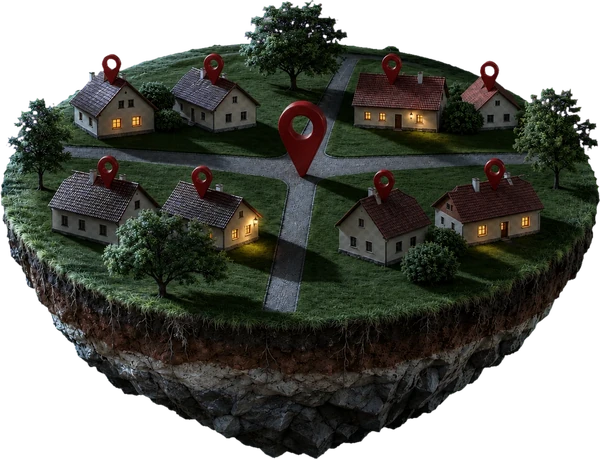
Address geocoder and autocomplete
Autocomplete, geocoder and reverse geocoder for all 3,022,397 Czech addresses with postal codes. Runs in your PostgreSQL, Meilisearch or Typesense: no paid API, no data sent to a third party.
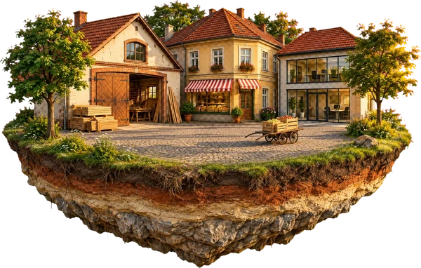
Companies and organisations (RES)
Czech companies and organisations by IČO (the company ID), from the register of economic entities (RES): legal form, CZ-NACE activities, size and registered office address with GPS. No natural persons.

ČSÚ code lists
List of Czech municipalities, regions, districts and ORP areas with their official codes, plus CZ-NACE, CZ-ISCO, CZ-CPA, CZ-NUTS, legal forms and countries with ISO codes. All versions merged into validity intervals.
More datasets
- Address risks
- Job vacancies
- Data boxes
- Medicinal products (SÚKL)
- Medicine shortages and availability
- Pharmacies with opening hours and GPS
- Healthcare facilities (NRPZS)
- Schools and school facilities
- Election results 1996–2026
- Municipalities in numbers 2000–2025
- Wages by region and industry
- Population of municipalities 2000–2026
- Free bundle
RÚIAN with history for 1,990 CZK.
One-time payment, download right after paying, no account and no subscription. Updates to the dataset are included in the price. All 15 paid datasets together cost 2,490 CZK, 3,510 CZK less than buying them one by one.